
Browse Items (13693 total)
Sort by:
Blister rust in white pine
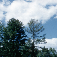
Blister rust in large white pine. Tree seed plant Angus.
Blister rust in pine, Silviculture slide 82b 96
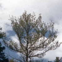
Blister rust in large white pine. Tree seed plant Angus
Blister rust (Cronartium ribicola) in planted white pine.
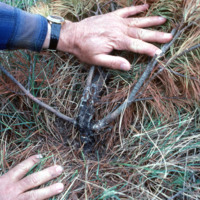
Blister rust(Cronartium ribicola) in planted white pine. Infection was most probably in the nursery. Owen Sound MNR
Blister rust (Cronartium ribicola) aeciospores on 9 year old white pine.
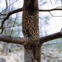
Blister rust (Cronartium ribicola) aeciospores on 9 year old white pine. Leslie Frost Centre.
Blister rust (Cronartium ribicola) aeciospores on 9 year old white pine.
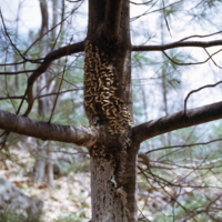
Blister rust (Cronartium ribicola) aeciospores on 9 year old white pine. Leslie Frost Centre.
Blake MacDonald's experiment to show the impact of water supply on growth of hard maple seedlings.
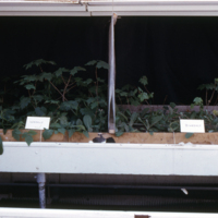
Blake MacDonald's experiment to show the impact of water supply: weekly vs. fortnightly watering on growth of hard maple seedlings.
Blake MacDonald's experiment to show the impact of water supply on growth of hard maple seedlings.
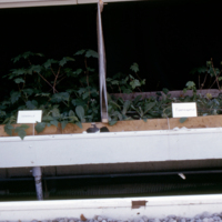
Blake MacDonald's experiment to show the impact of water supply: weekly vs. fortnightly watering on growth of hard maple seedlings.
Blade scarification using D8; 2-3 acres/hour.
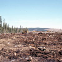
Blade scarification using D8; 2-3 acres/hour. N.B. frozen soil under where blade is scraping. Northwestern Pulp & Power. Hinton
Blackstone Lake - Views of fire boundary - 1961 fire
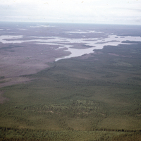
Aerial photographs of the boundary where the fire damage stops near Blackstone Lake, Ontario. The photographs show where the landscape is visually split between the brownish/grey burnt forest and the green unburnt forest. The lake can also be seen in…
Blackstone Lake - Unburned - Gleyed soil
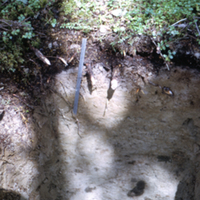
Photograph of a cross-sectional view of soil in an unburnt forest stand near Blackstone Lake, Ontario. The organic, topsoil and subsoil layers can clearly be seen. A metal ruler can be seen near the center of the image. Note that the organic layer is…