
Browse Items (13695 total)
Sort by:
Aerial view of plantations
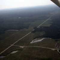
Aerial view of plantations. N.B. Roads and series of beaver ponds. Black Brook, J.D.Irving
Aerial view of plantations
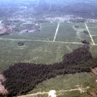
Aerial view of plantations. N.B. current cut in lower rh corner, roads and extent of plantations. Veneer Hill area, Black Brook, J.D. Irving.
Aerial view of plantation
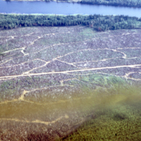
Aerial view of plantation shown in slides # 211 & 212. Lake is south part of Watabeag Lake. N.B. road pattern and reserve on lake shore Engelhart/Watabeag M.U's.
Aerial view of patch clearcutting. Silviculture 487 532
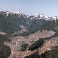
Aerial view of patch clearcutting in west coast Douglas fir, w.hemlock, etc. Photo M.(Mike) D.Meagher.
Aerial View of Nursery, Looking South With Engelhart River on Right
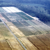
An aerial view of nursery, looking south with Engelhart River on right. View of nursery from air.
Aerial View of Nursery From West Side; n.b. Peat Bog In Foreground Greenhouses Mid Left for Container Stock
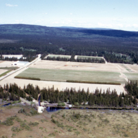
Aerial view of nursery from west side; n.b. peat bog in foreground greenhouses mid left for container stock. Nursery, aerial view.
Aerial View of Nursery From South n.b. Portion of Transplant Field Where Peat Was Applied at 150CU/Yd/AC
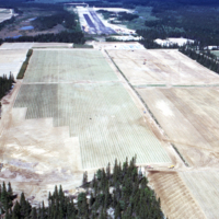
Aerial view of nursery from south n.b. portion of transplant field where peat was applied at 150cu/yd/ac. Nursery, aerial view.
Aerial View of Nursery Also Showing Surrounding Forest
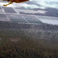
An aerial view of nursery also showing surrounding forest. View of nursery from air.
Aerial view of Nolalu
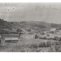
Aerial view of Nolalu--pictured are various buildings including the school, store house, and the railway station.
Aerial view of new forest started from scattering slash with cones
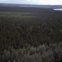
Aerial view of new forest started from scattering slash with cones after cutting. Longlac, Kimberly-Clark.