
Browse Items (13695 total)
Sort by:
Aerial Photographs of Thunder Bay Harbour
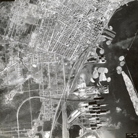
Three aerial photographs showing the Thunder Bay Harbour and the northern Port Arthur part of town. These images date from 1948, and they come from the Forestry Aerial Photographs collection.
Note the large booms of logs in the water, awaiting…
Note the large booms of logs in the water, awaiting…
Aerial Photograph of Lakehead University Campus, 1969
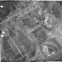
Aerial photograph of the land where the Lakehead University Thunder Bay Campus was developed. 1969. Aerial photography commissioned by the City of Thunder Bay.
Aerial Photograph of Lakehead University Campus, 1959
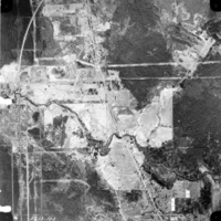
Aerial photograph of the land where the Lakehead University Thunder Bay Campus was developed. 1959. Aerial photography commissioned by the City of Thunder Bay.
Aerial photo taken from plane
Aerial photo taken from plane.
Aerial photo taken from plane
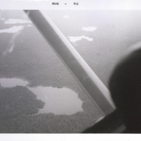
Aerial photo taken from plane.
Aerial photo taken from plane
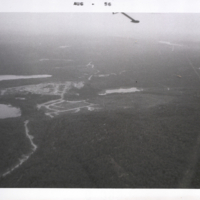
Aerial photo taken from plane.
Aerial photo taken from plane
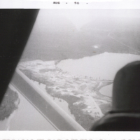
Aerial photo taken from plane.
Aerial photo of hydro plant
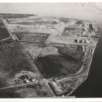
Aerial photo of hydro plant, Fort William. Mission Island.
Aerial photo of Great Lakes Paper Company
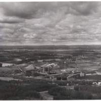
Aerial photo of Great Lakes Paper Company, 1964.
Aerial photo of Fort William
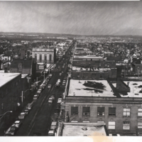
Aerial photo of Fort William.