
Browse Items (13649 total)
Sort by:
Trout Lake - General view of bare rock area
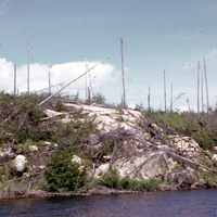
Photograph of a bare rock area at a burned forest near Trout Lake, Ontario. Many burnt trees can be seen littered through the regrowth. A body of water can be seen at the bottom of the image.
Trout Lake, Bear Trap Bay - Soil profile - Note windthrow
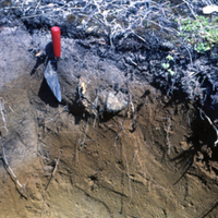
Photographs of a cross sectional view of soil in burned forest near Trout Lake, Ontario. The organic, topsoil and subsoil layers can clearly be seen.
Soil type: #29
Soil type: #29
Trout Lake, Bear Trap Bay - Soil profile - Note windthrow
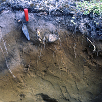
Photographs of a cross sectional view of soil in burned forest near Trout Lake, Ontario. The organic, topsoil and subsoil layers can clearly be seen. A spade can be seen in both photographs.
Soil type: #29
Soil type: #29
Trout L., Bear Trap Bay - Close-up of ground surface
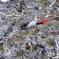
Photograph of ground surface in burned forest stand near Trout Lake, Ontario. Small patches of regrowth can be seen on the ash covered surface. A small spade can be seen in the center of the image.
Log Book - Firebook 1955
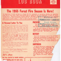
Log Book, published by the Thunder Bay Timber Operators' Association. Firebook 1955.
Log Book - November December 1955
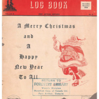
Log Book, published by the Thunder Bay Timber Operators' Association. November December 1955.
Log Book - September October 1955
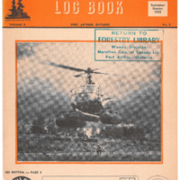
Log Book, published by the Thunder Bay Timber Operators' Association. September October 1955.
Log Book - July August 1955
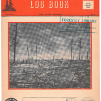
Log Book, published by the Thunder Bay Timber Operators' Association. July August 1955.
Log Book - May June 1955
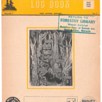
Log Book, published by the Thunder Bay Timber Operators' Association. May June 1955.
Log Book - March April 1955
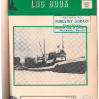
Log Book, published by the Thunder Bay Timber Operators' Association. March April 1955.