
Browse Items (13693 total)
Sort by:
Trout Lake, Bear Trap Bay - Ground view of unburned area from burned Area - 1962 fire
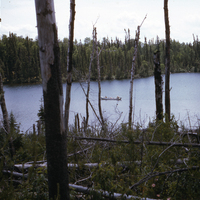
Photograph of the unburned forest stand from the burned forest stand near Trout Lake, Ontario. The burned stand is separated from the unburned stand by a river. Two men can be seen on a boat in the river.
Trout Lake, Bear Trap Bay - Showing F-H (13 cm) and moss
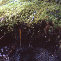
Photograph A:
Photograph of a cross section of soil near Trout Lake, Ontario. The organic layer and topsoil can be clearly seen. A pencil can be seen stuck into the soil.
Soil type: #28
Photograph B:
Photograph of a cross section of…
Photograph of a cross section of soil near Trout Lake, Ontario. The organic layer and topsoil can be clearly seen. A pencil can be seen stuck into the soil.
Soil type: #28
Photograph B:
Photograph of a cross section of…
Trout Lake, Bear Trap Bay - Soil profile - Note windthrow
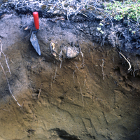
Photographs of a cross sectional view of soil in burned forest near Trout Lake, Ontario. The organic, topsoil and subsoil layers can clearly be seen. A spade can be seen in both photographs.
Soil type: #29
Soil type: #29
Trout Lake, Bear Trap Bay - Soil profile - Note windthrow
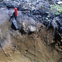
Photographs of a cross sectional view of soil in burned forest near Trout Lake, Ontario. The organic, topsoil and subsoil layers can clearly be seen.
Soil type: #29
Soil type: #29
Trout Lake, Bear Trap Bay - Unburned stand of 155 year old PIm
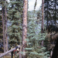
Photographs of the unburned portion of the 155 year old forest surrounding Trout Lake, Ontario. A man can be seen next to a toppled tree in the first image.
Soil type: #28
Soil type: #28
Trout Lake, long channel - PN b in bedrock ridge. Greg Taylor
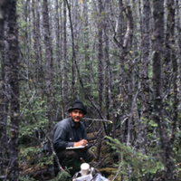
Photograph of a wooded area near Trout Lake, Ontario. Seems to be an older forest stand unaffected by forest fires. Man in the image identified as Greg Taylor.
Soil type: #26
Soil type: #26
Trout stream, North Nipigon Ontario
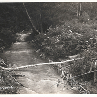
Postcard entitled, Two at a Time, Trout stream, North Nipigon Ontario.
Truck accident with wood load
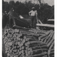
Truck accident with wood load.
Tube seedling immediately after planting
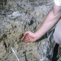
Tube seedling immediately after planting, see slide #214 & 215. Willison Twp, Engelhart Management Unit
Tubed jack pine
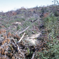
Tubed jack pine two years after planting on barreled site. N.B. residual black spruce on right. This is a general view of area in slide # 224, Terry Twp, Watabeag Management Unit