
Browse Items (13693 total)
Sort by:
Hwy 35 south of Lindsay - what direction?
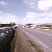
Snow melting near a rural road in Ontario
Hwy 35 south of Lindsay - what direction?
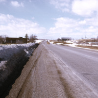
snow melting near a rural road
Mean annual EVT for Northern Ontario
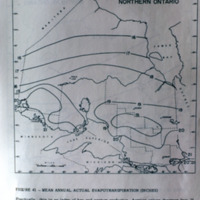
Map of mean annual actual evapotranspiration
Climatic regions of Northern Ontario
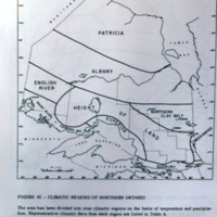
Photograph of a map of climatic regions of Northern Ontario
Climatic regions of Southern Ontario
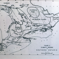
Map of climatic regions
Avery Creek watershed, Southwestern Mountains near Asheville, NC
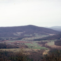
Landscape view of farmlands and forests
General view from Rattlesnake Pt. (Niagara Escarpment)
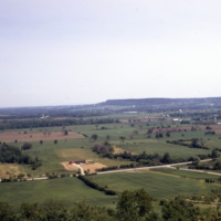
Farmlands and vegetation strips (live fences)
Banana crop, Ivory Coast
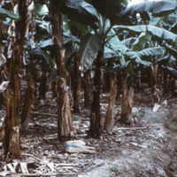
Rural banana cultivation in tropical Africa
Huron longhouse, Midland
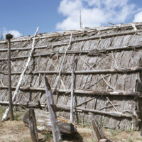
Traditional longhouse of a Huron, First Nations community in Midland.
Continental Road - Harvard Black Rock Forest
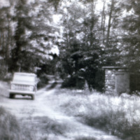
Museum old picture of forest road