
Browse Items (13654 total)
Sort by:
Windblown deposits at Glen Williams to show both current upper plow layer and a buried plow layer covered by windblown sand
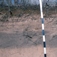
Windblown deposits at Glen Williams to show both current upper plow layer and a buried plow layer covered by windblown sand. cf. # 152 & 164
View of windblown sand structure at the Glen Williams site
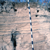
View of windblown sand structure at the Glen Williams site; cf. slides # 151 & 164
Current plow layer in sands over gravel at Glen Williams bone pit site
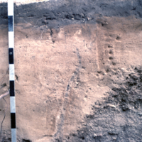
Current plow layer in sands over gravel at Glen Williams bone pit site.
Closeup of iron lines and deposition of organic matter in an old root/worm channel
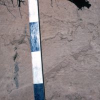
Closeup of iron lines and deposition of organic matter in an old root/worm channel; profile of slides #151 & 164.
Profile of soil in sandy loam at Glen Williams
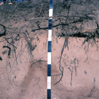
Profile of soil in sandy loam at Glen Williams where bone pit excavations were made; n.b. plow layer and power Bf. see slides # 151-153 & 165-169.
Microtus hole in the Ah of the profile at the Dunlap Observatory
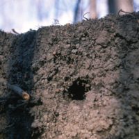
Microtus hole in the Ah of the profile at the Dunlap Observatory, Richmond Hill; cf. slides # 140, 162
General view of forest floor under maple at Dunlap Observatory
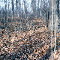
General view of forest floor under maple at Dunlap Observatory, Richmond Hill. cf. Slide #140
II year UT students examining soil profile in interlobate sands
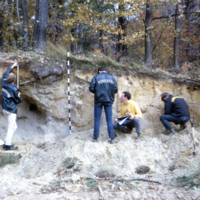
II year UT students examining soil profile in interlobate sands near Maple.
Bedded alluvial deposits overlain by clay
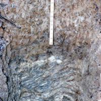
Bedded alluvial deposits overlain by clay (till?); location unknown
Closeup of the Simcoe County area to show soil variation
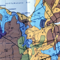
Closeup of the Simcoe County area in Slide # 157 to show soil variation.