
Fire Damage Study - 1968
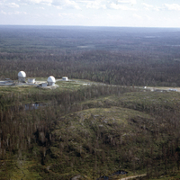
Radar dome, Sioux Lookout
001

Burnt soil
002
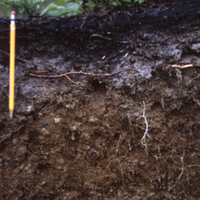
Burnt soil
003
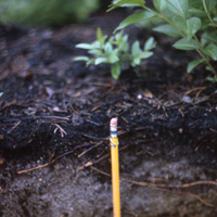
Burnt soil
004
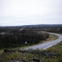
General view, Ralph Lake
005a
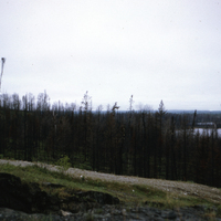
General view, Ralph Lake
005b
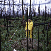
Man in yellow, Ralph Lake
006
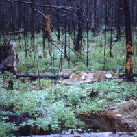
Dump till general view, Ralph Lake
007
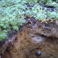
Soil disturbance, Ralph Lake
008
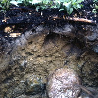
Dump till, Ralph Lake
009
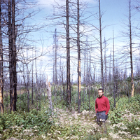
Man in red post-fire, Ralph Lake
010
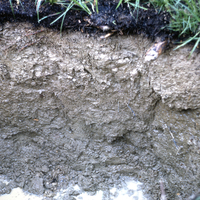
Clay soil, Ralph Lake
011
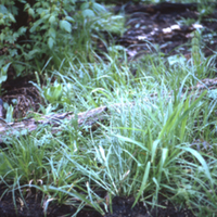
Surface close up, Ralph Lake
012
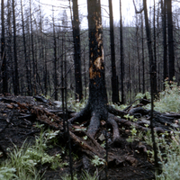
Shallow soil/bedrock, Ralph Lake
013
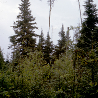
Unburnt forest, Sioux Lookout
014
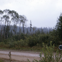
Unburnt forest-clay soil, Sioux Lookout
015
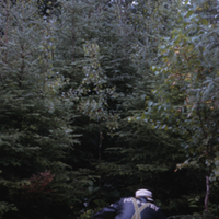
Unburnt soil pit
016
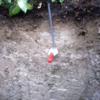
Unburnt soil pit
017
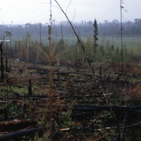
Forest post-fire, Sioux Lookout
018a
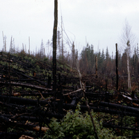
Forest post-fire, Sioux Lookout
018b
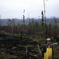
Forest post-fire, Sioux Lookout
018c
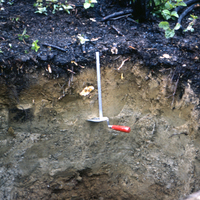
Post-fire soil layers, Sioux Lookout
019a
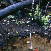
Post fire soil layers, Sioux Lookout
019b
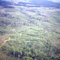
Aerial photograph, low oblique, Bruce Lake
020a
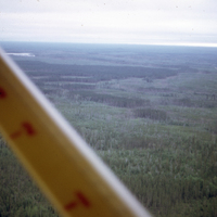
Aerial photograph, high oblique, Bruce Lake
020b
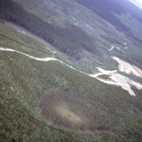
Esker & Clays, Bruce Lake
021a
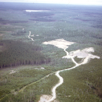
Esker & Clays, Bruce Lake
021b
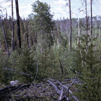
Esker, Bruce Lake
022
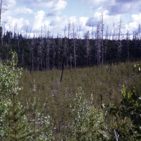
Pine regeneration, Bruce Lake
023a
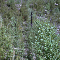
Pine regeneration, Bruce Lake
023b
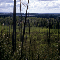
Pine regeneration, Bruce Lake
029
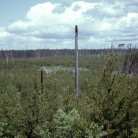
Pine regeneration, Bruce Lake
030a
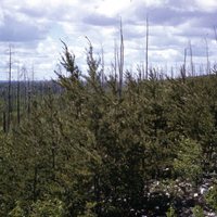
Pine regeneration, Bruce Lake
030b
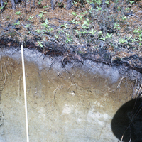
Esker, med-fine sand, Bruce Lake
031
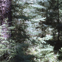
100 year old stand plm, Bruce Lake
032
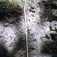
Unburnt grey wooded soil, Bruce Lake
033
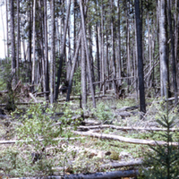
Post logging & fire forest recovery, Bruce Lake
034
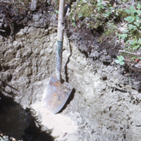
Gleyed soil, sand/clay, Bruce Lake
035
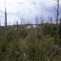
General view-clay, sand, and bedrock, Bug River
036
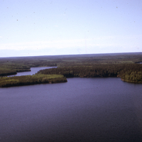
Aerial photograph, high oblique, Job Lake
037
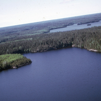
Aerial photograph, unburned high oblique, Job Lake
038
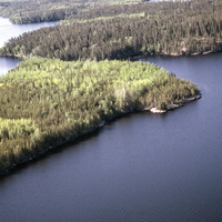
Aerial photograph, forest recovery, Job Lake
039